


Stony Point Battlefield and Lighthouse is a New York State Historic Site.
The Battlefield: Stony Point was the scene
of a major battle during the Revolutionary War. The British had begun to
fortify Stony Point in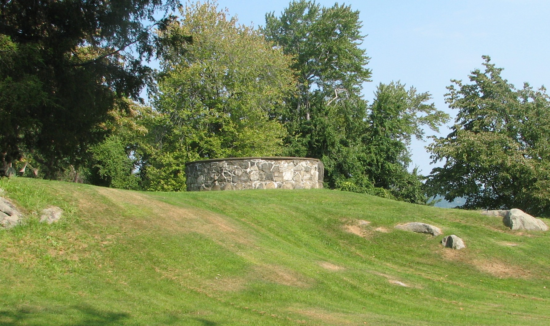 order to protect King's Ferry, which ran between there and Verplanck Point on the
east side of the river. They were using this area
to launch strikes into Connecticut. At one point 1000 British soldiers
were stationed here.
order to protect King's Ferry, which ran between there and Verplanck Point on the
east side of the river. They were using this area
to launch strikes into Connecticut. At one point 1000 British soldiers
were stationed here.
On July 16, 1779, American General "Mad" Anthony Wayne led a column of light infantry troops down to Stony Point from West Point. They attacked the rear of the fort by wading out to Stony Point at Midnight. Darkness prevented the British ships protecting the unfinished rear of the fort from seeing the attackers. Within an hour the British soldiers surrendered Stony Point.
The Lighthouse: The Stony Point Lighthouse was
first lit by keeper Cornelius W. Lansing on December 1, 1826. The Erie
Canal had been completed just o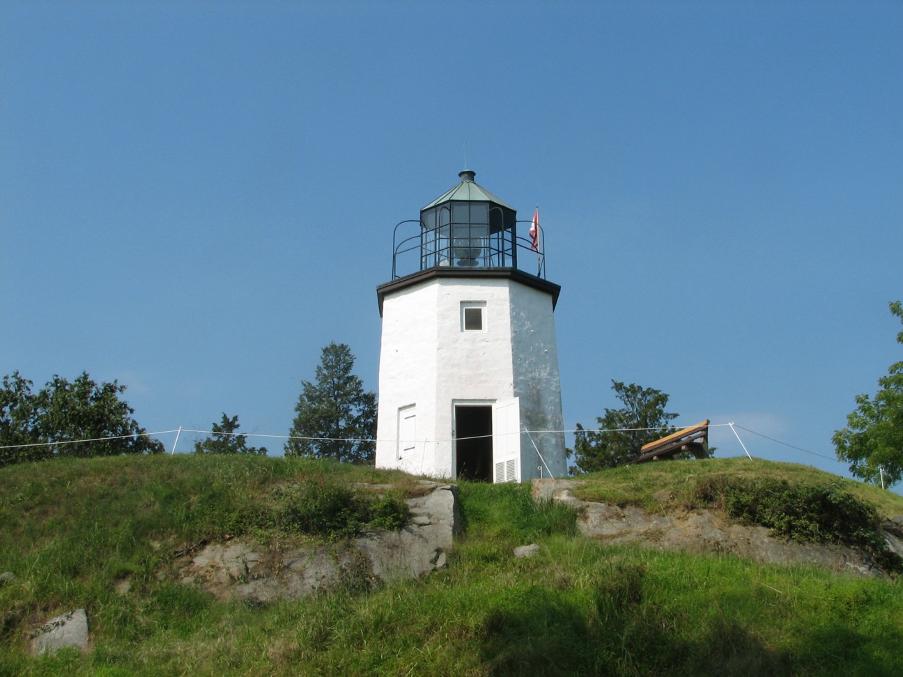 ne year earlier, and shipping traffic had greatly
increased on the Hudson. This lighthouse at the mouth of the Hudson River
Highlands was the first of many along the river. The Lighthouse was
de-commissioned in 1925 and replaced by a light on a steel tower near the
shoreline. That steel tower was the last manually operated light on the
Hudson, surviving in that state until 1973. Due to the efforts of preservationists,
the restored Stony
Point Lighthouse again began to shine in 1995.
ne year earlier, and shipping traffic had greatly
increased on the Hudson. This lighthouse at the mouth of the Hudson River
Highlands was the first of many along the river. The Lighthouse was
de-commissioned in 1925 and replaced by a light on a steel tower near the
shoreline. That steel tower was the last manually operated light on the
Hudson, surviving in that state until 1973. Due to the efforts of preservationists,
the restored Stony
Point Lighthouse again began to shine in 1995.
PUT-IN: There is no launch in Stony Point Park itself. The road leading into the park is also closed during the winter months. The closest put-in for Stony Point is the Town of Haverstraw Kayak Launch, which is just across Stony Point Bay in Minisceongo Creek. To reach the put-in, go to the end of Main Street in Stony Point and turn along the Hudson until you cross Grassy Point. At the south end of the Grassy Point there is a marina and creek. The Town of Haverstraw Kayak Launch is just past the marina on your right.
ROUTES:
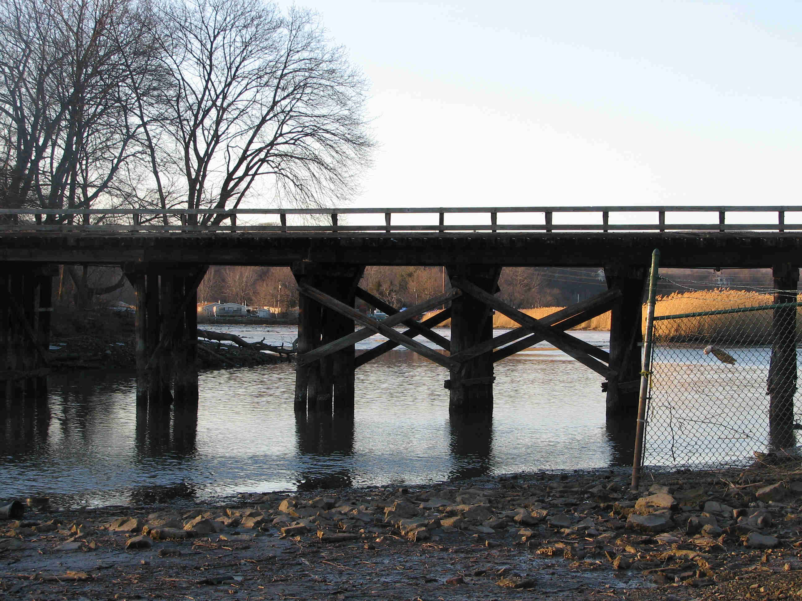
HUDSON RIVER: From the Town Of Haverstraw Kayak Launch, turn right and pass under the railroad bridge. The channel divides into two parts just after the railroad bridge. Take either channel. They meet up later on and the distance is about the same. After about a half a mile there is a trailer park and Marina with a bridge just to the right. Enter the river by passing under the bridge. This is the bay just south of the Stony Point Battlefield. American troops waded across this bay to attack the British Fort on Stony Point.
Minisceongo Creek: Left off the
Town Of Haverstraw Kayak Launch takes you down into Minisceongo Creek which
is navigable for about a mile AT HIGH TIDE ONLY. The Creek winds through
Pile Marsh and later a landfill until the channel divides. The left
channels
 lead into the Marsh and are very shallow even at high tide. They
will drain quickly so take care here not to get stuck. The right channel
leads a little further down Minnisceongo Creek which leaves the marsh and
narrows after a short distance to the point where it becomes difficult to
navigate due to fallen trees and the like. All of these areas will drain
out after high tide.
lead into the Marsh and are very shallow even at high tide. They
will drain quickly so take care here not to get stuck. The right channel
leads a little further down Minnisceongo Creek which leaves the marsh and
narrows after a short distance to the point where it becomes difficult to
navigate due to fallen trees and the like. All of these areas will drain
out after high tide.
CEDAR POND BROOK: Just before you enter the Hudson there is a channel leading off to the left. This is Cedar Pond Brook a very shallow waterway that leads through some areas of marsh. The channels are fun to explore and you can get up into the creek as far as the railroad bridge. The water is very clear and calm. You should however, be aware that the area drains as the tide gets lower. Take care not to get stuck.
Hudson River Trips here can take you south to Haverstraw, Nyack Beach and Nyack. Across brings you to Croton Point and Annsville. North takes you into the Hudson River Highlands and Iona Marsh in Bear Mountain State Park. If you choose to travel north, you should stay to the west side of the river to avoid restricted areas (and maybe a leak or two) near the Indian Point Nuclear Power Plant.
NOTE: It is tempting to land at Stony Point and
hike up to the lighthouse. The point, however, is very steep and rocky.
There are no good places to land. If you do decide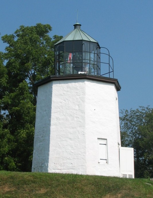 to try, make sure to
carry your boat well up the hill and out of the water (especially if the tide is
rising) and wear shoes that will allow you to scramble up the rocks and through
the brush. I even saw a few prickly pear cactus growing there.
to try, make sure to
carry your boat well up the hill and out of the water (especially if the tide is
rising) and wear shoes that will allow you to scramble up the rocks and through
the brush. I even saw a few prickly pear cactus growing there.
Click for
Use of the information in this guide is at your own risk. Please read our disclaimer.
Copyright 2005 - by Jacob Tanenbaum. All rights are reserved.